Surveying & Engineering Equipment: GPS & GNSS

• Total Stations • 3D Laser Scanners • Underground Detectors • Auto Levels

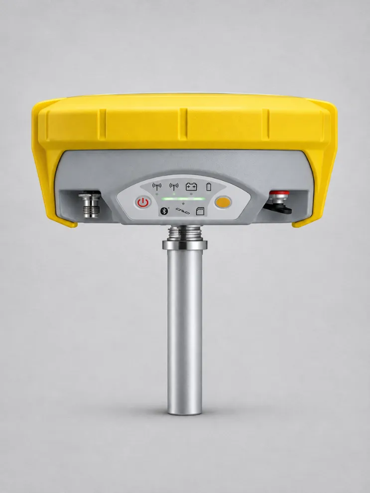
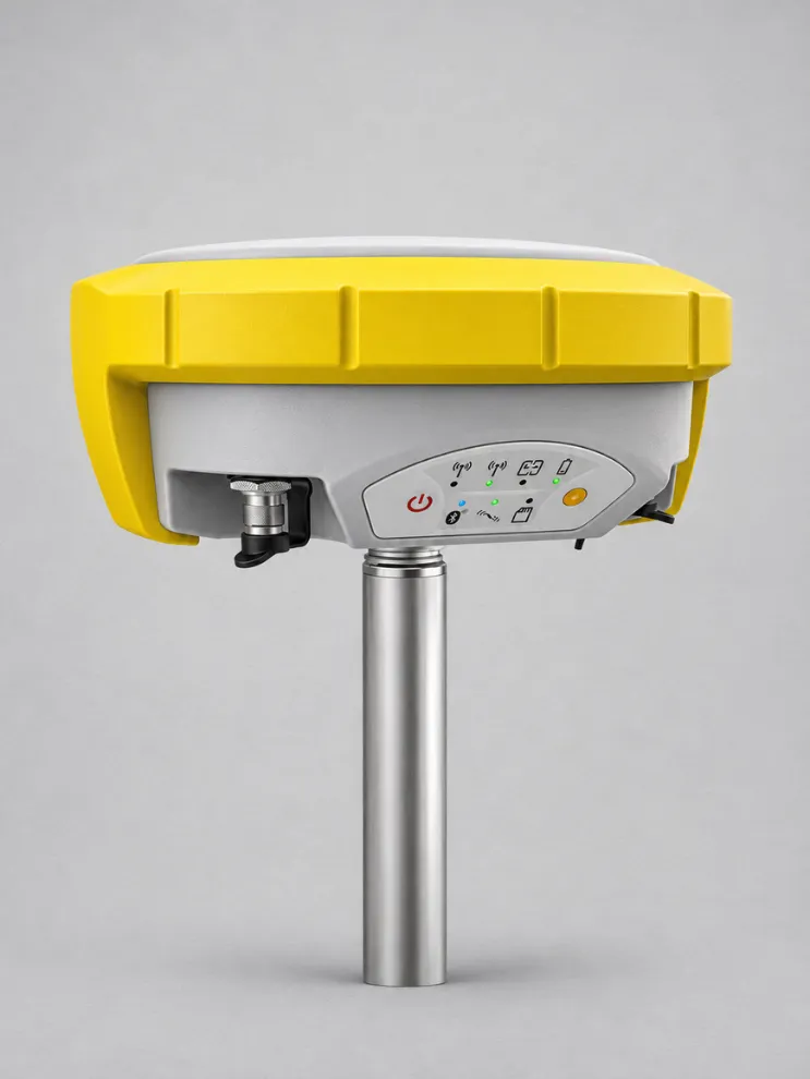
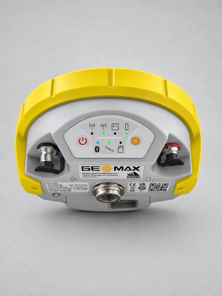
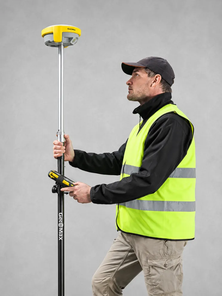
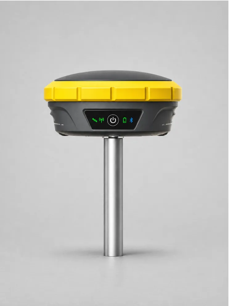
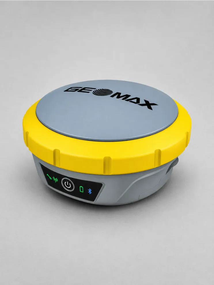
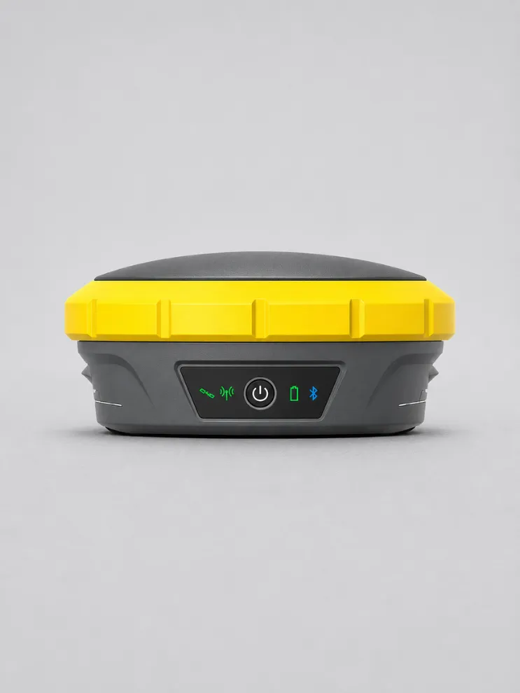
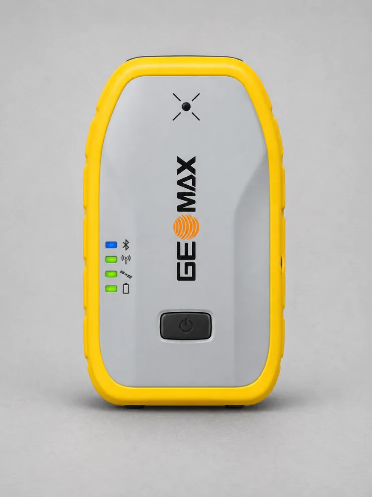
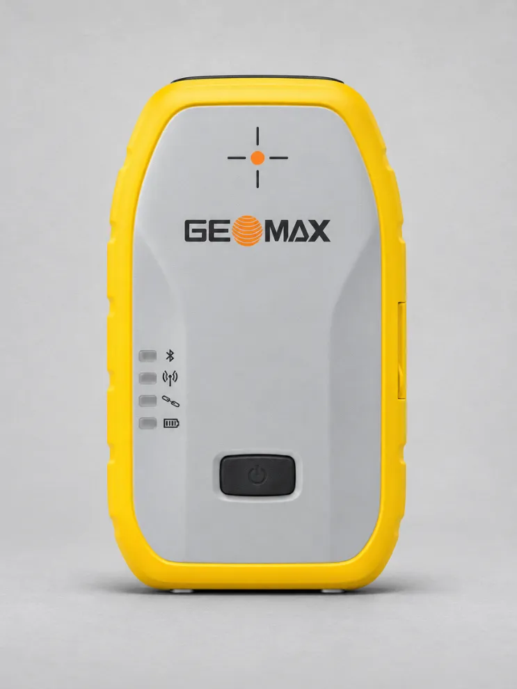
GeoMax Zenith16

The GeoMax Zenith16 is a GNSS smart antenna designed for fast, accurate field measurements. It pairs with GeoMax field controllers and X-PAD software to move survey data from the field to the office.

Multi-frequency, multi-constellation tracking lets the Zenith16 use signals from multiple satellite systems. It supports precise point positioning (PPP) and fast convergence, helping reduce the wait for an accurate position.

X-PAD Ultimate gives survey crews a straightforward workflow for collecting measurements in the field and transferring the data to the office.

X-PAD Fusion combines data from GeoMax instruments and third-party sources such as drones. The X-PAD Software Suite also supports static GNSS post-processing and project file management.

Zenith Manager is a standalone application for Windows and Android that lets you configure the receiver without a dedicated field controller.

GeoMax provides support and training to help teams set up the Zenith16 and integrate it into their daily surveying workflows.

Download Datasheet


Need Help?

600 N Michigan Ave, Chicago, IL 60611, USA

Open in Maps hi.amere@gmail.com 315-666-6688

Compare products

Your Compare is curently empty

Compare
Clear All
Image
Image
Image
Image
Image
Image
Image
Quick View

Clothing

Lyocell wrap top

(134 reviews)
18 sold in last 32 hours

$59.99

$98.99

-25%

The garments labelled as Committed are products that have been produced using sustainable fibres or processes, reducing their environmental impact.

28 people are viewing this right now