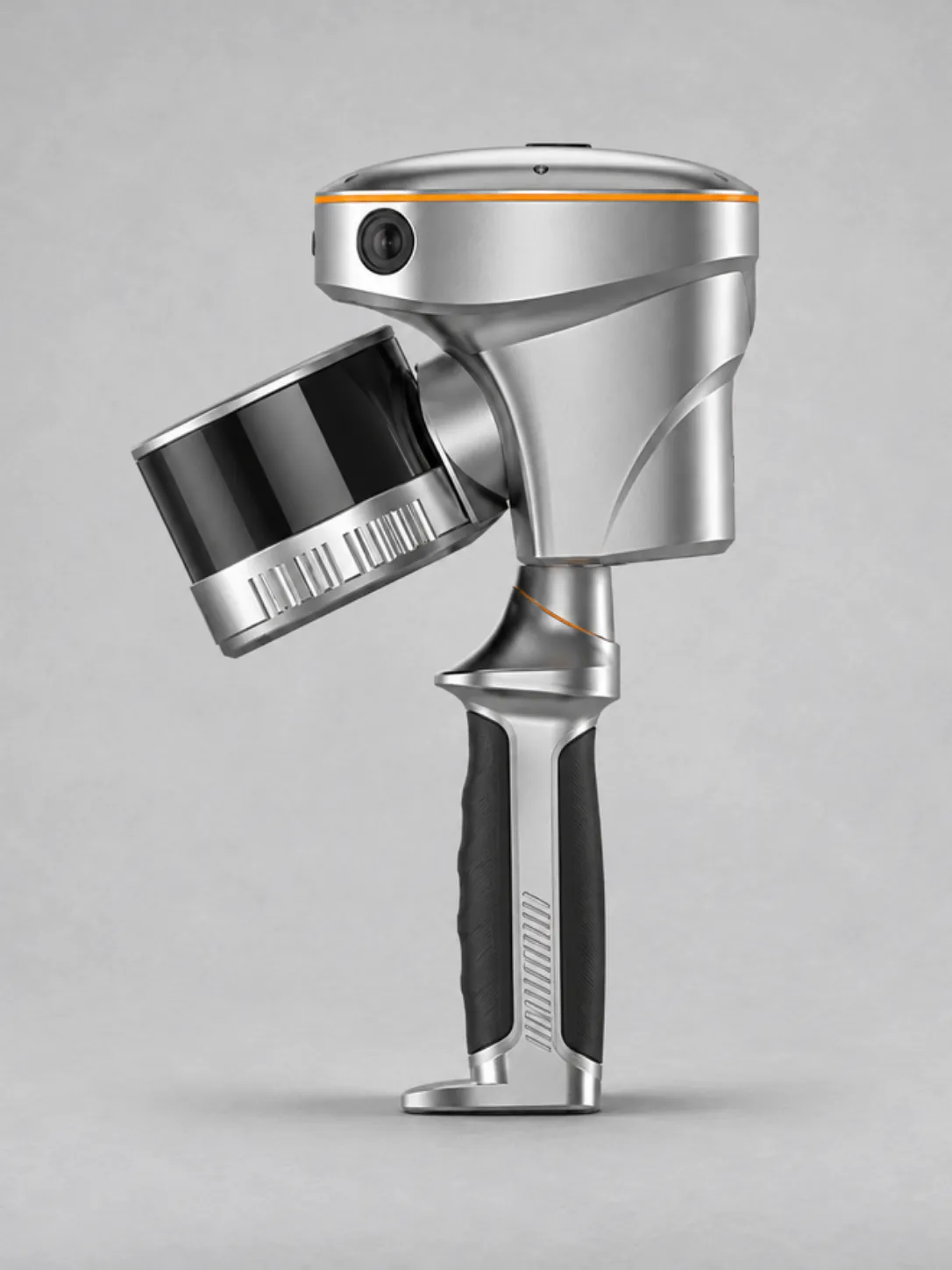
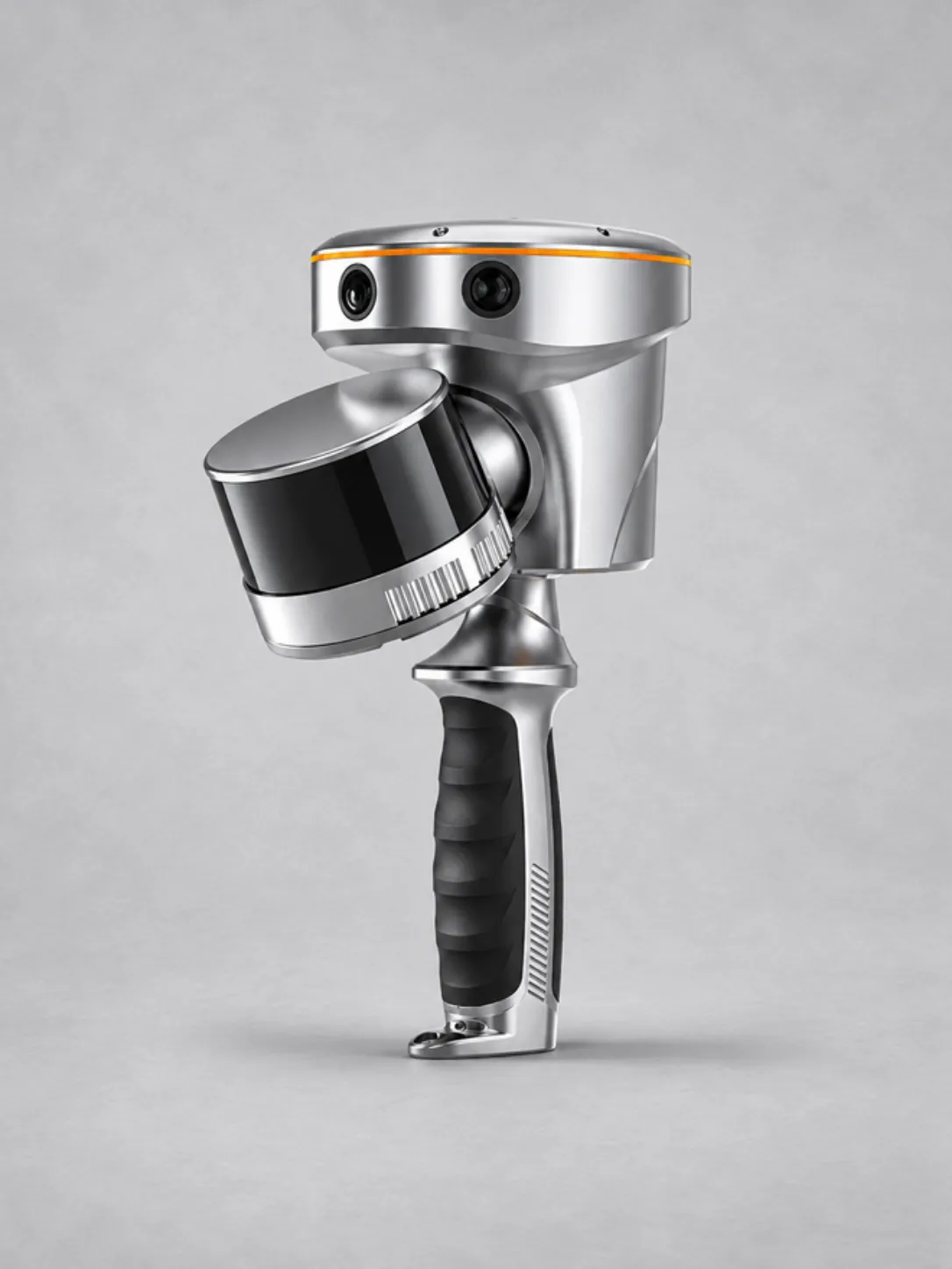
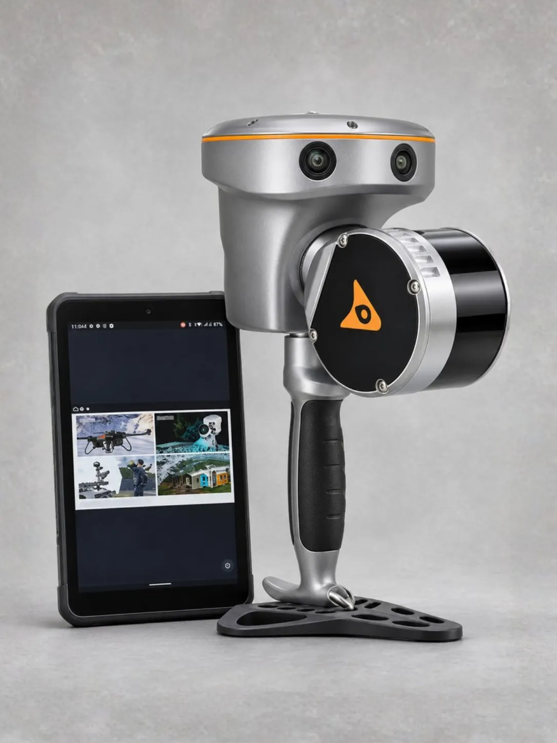
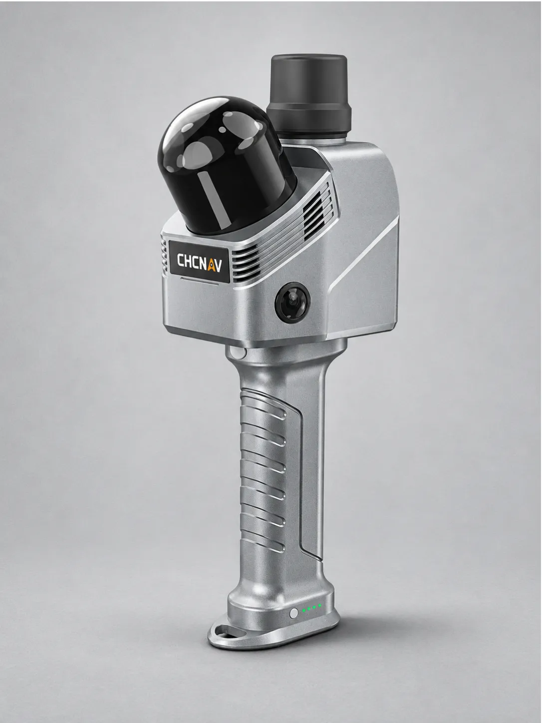
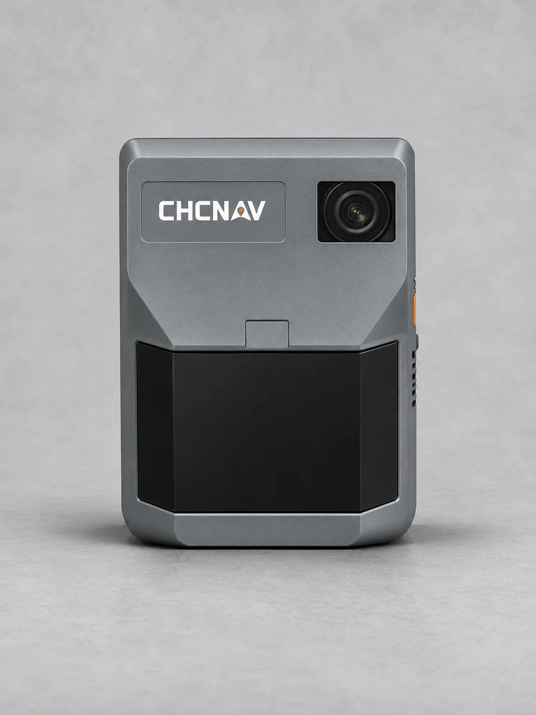
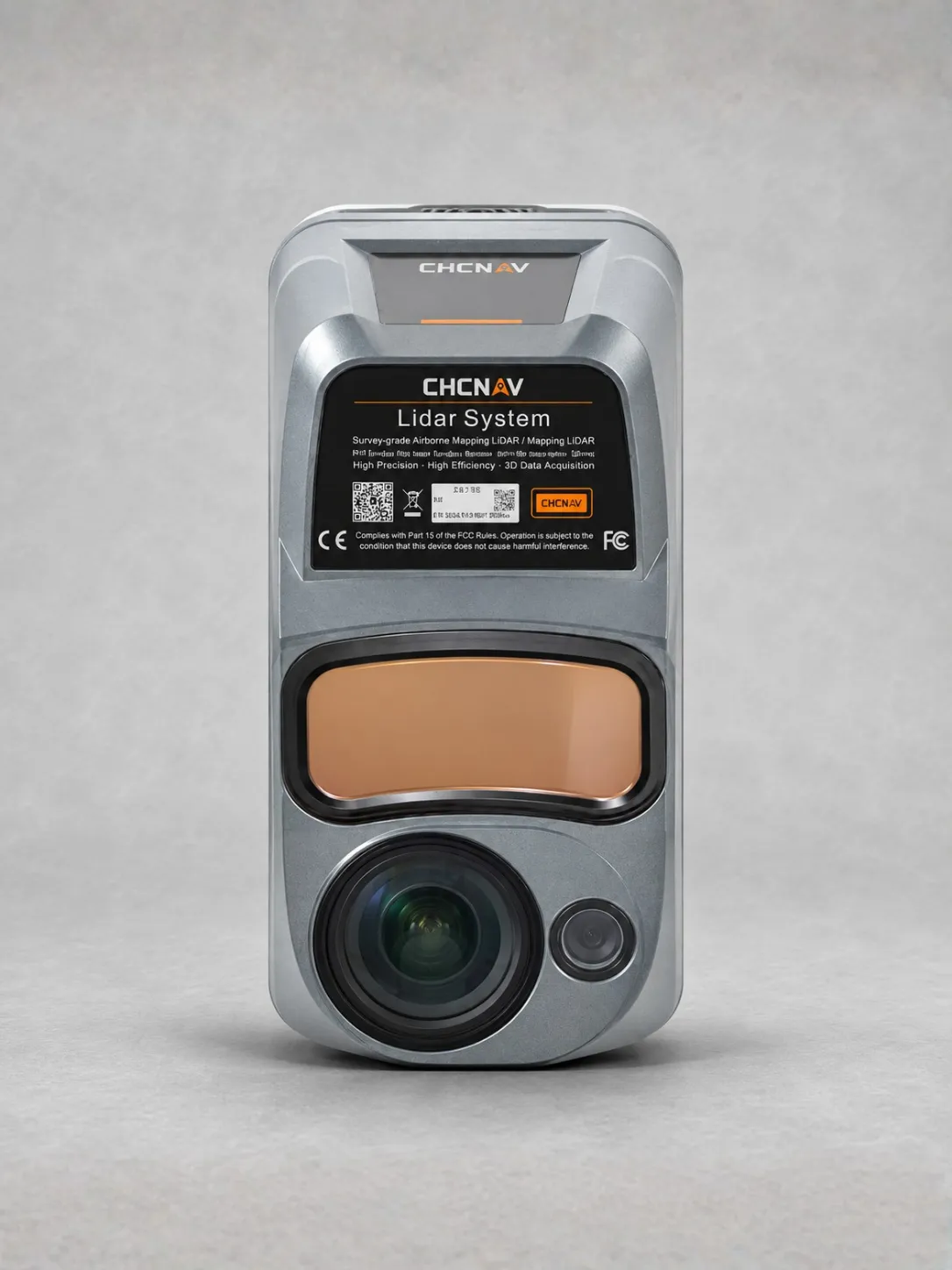
CHCNAV RS10
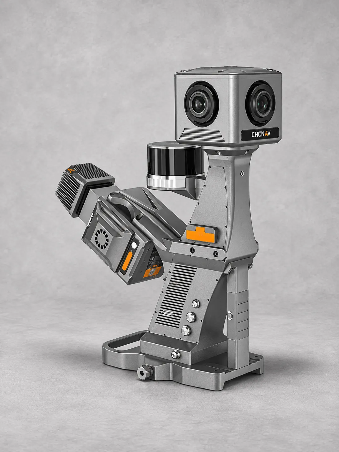
The CHCNAV RS10 combines handheld 3D laser scanning, GNSS RTK and visual
SLAM for efficient indoor and outdoor surveying.
Integrated sensor fusion supports continuous mapping through areas with
weak or unavailable GNSS signals, providing flexibility across complex sites.
Available configurations offer 16 or 32 laser channels, a range of
120 or 300 m, and scanning rates of 320,000 or 640,000 pulses per second.
Capture detailed spatial data with relative accuracy below 1 cm and
horizontal and vertical absolute accuracy below 5 cm under suitable conditions.
Real-time georeferenced point clouds support field review, while three
5 MP cameras provide imagery to complement laser scanning.
Hot-swappable batteries deliver approximately 60 minutes of operation
per battery, supporting extended surveying sessions.
Ideal for as-built surveys, BIM data capture, topographic surveying,
forestry mapping and utility inspection.