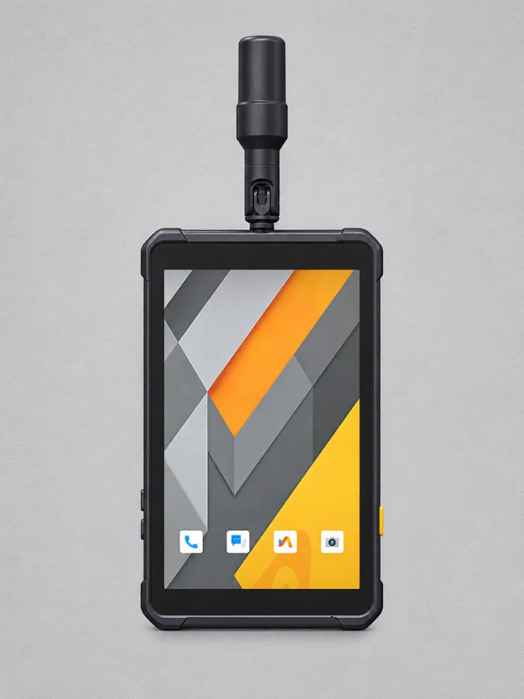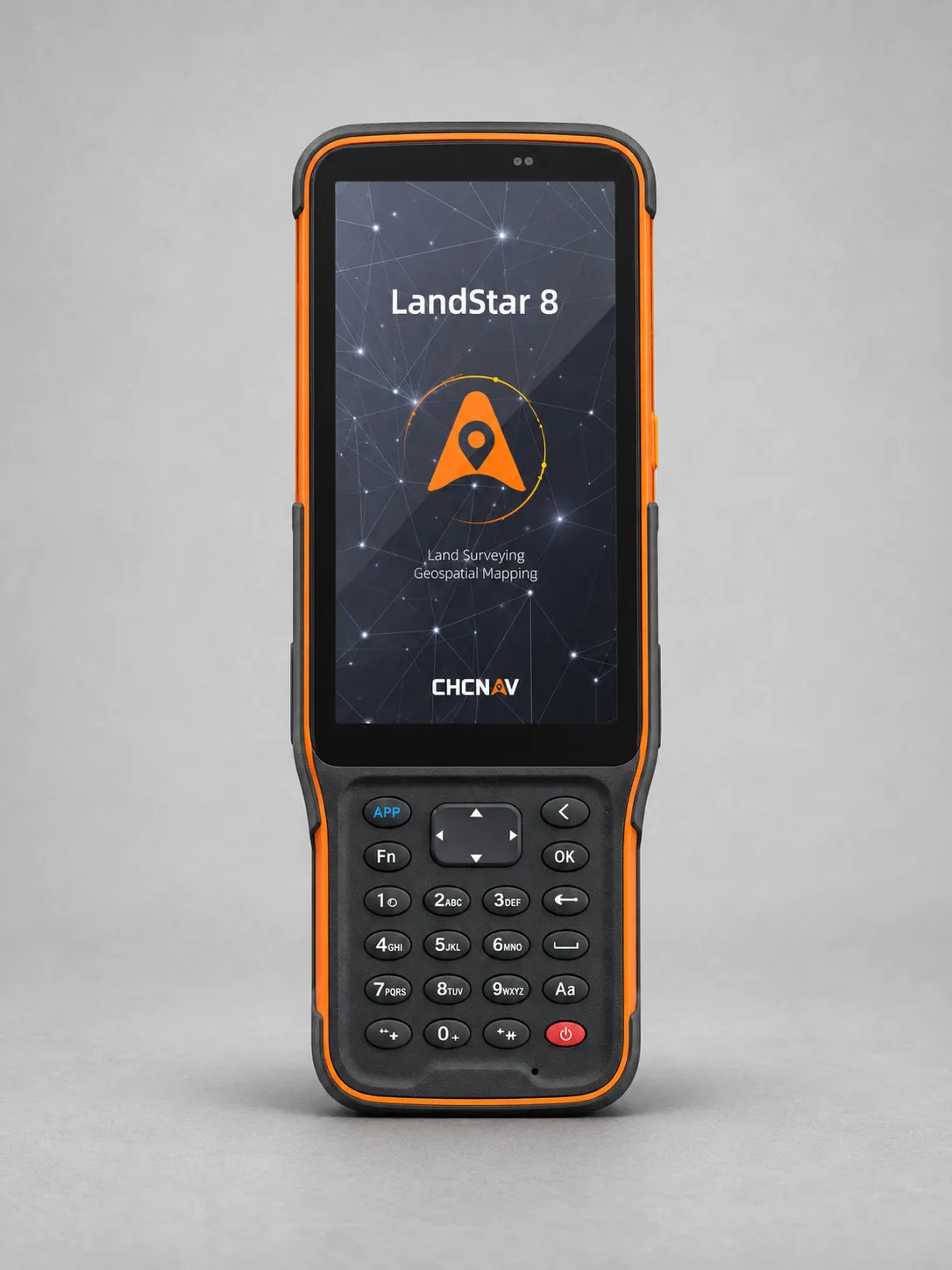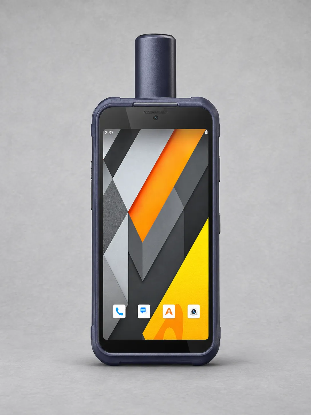
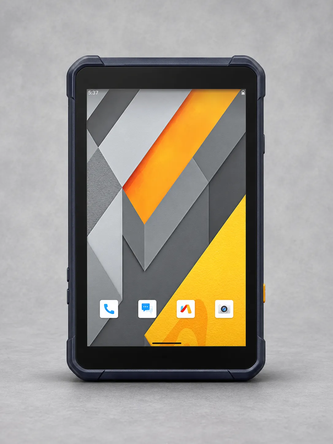
CHCNAV LT800
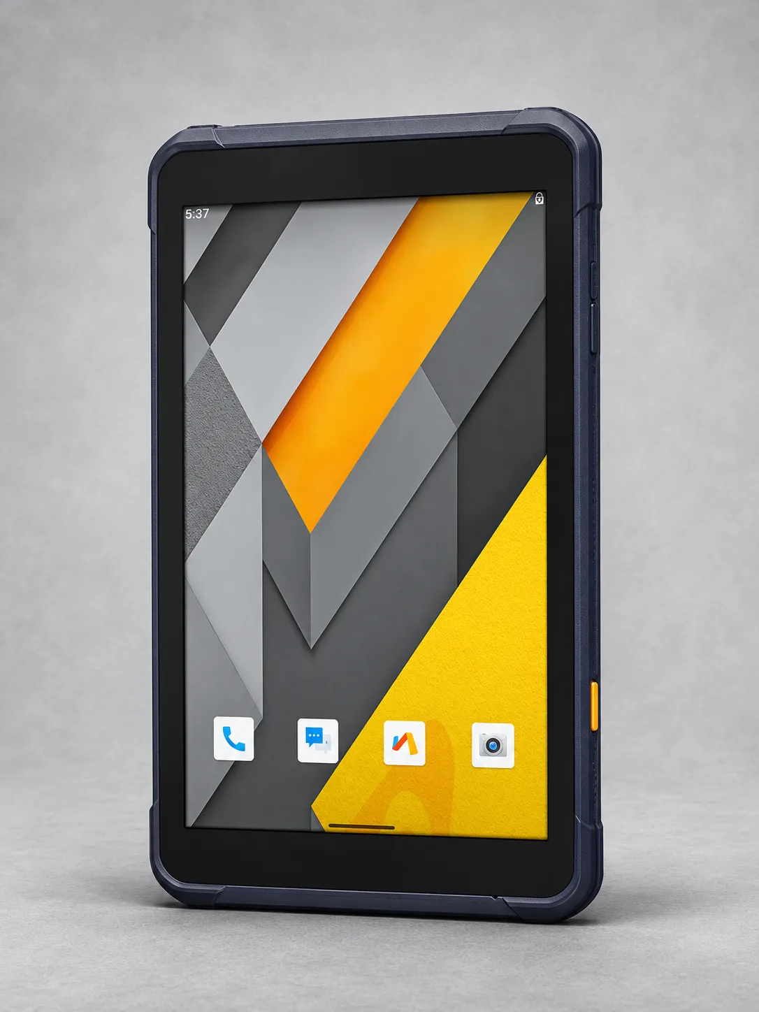
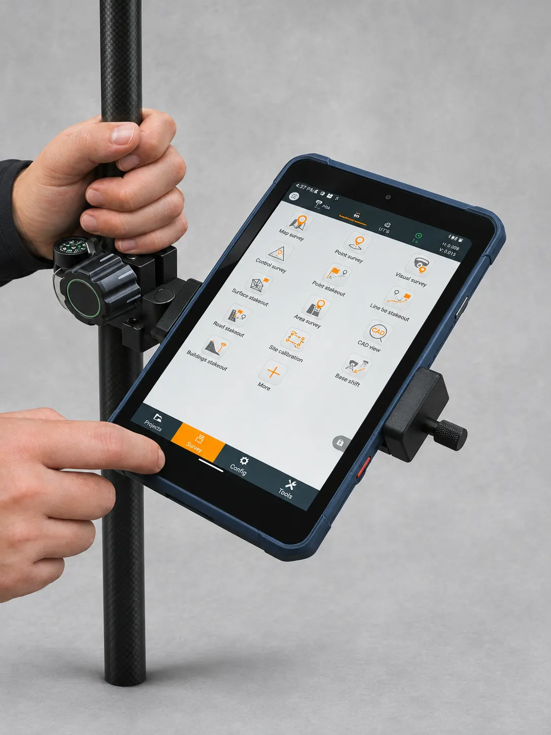
The CHCNAV LT800 is a rugged Android tablet for GIS data collection, coastal zone management, vegetation mapping and other professional field applications.
Its 45-channel GNSS module supports multiple satellite constellations, delivering horizontal positioning accuracy of 2–5 metres for mapping and asset location tasks.
An 8.1-inch sunlight-readable touchscreen with 1920 × 1200 resolution and Corning Gorilla Glass 3 provides clear viewing of maps, images and field data.
A 2.0 GHz octa-core processor, 8 GB RAM and 256 GB storage support efficient application performance. Google Mobile Services and Android Enterprise Recommended support simplify enterprise integration.
Integrated 4G LTE, Bluetooth, Wi-Fi and NFC enable flexible connectivity, while the built-in camera supports photographic documentation during field inspections.
Weighing 550 g, the LT800 combines portability with IP67 protection. It operates from −20°C to +60°C and offers battery life of up to 10 hours.